A startling statistic in the WWF report Living Planet claimed the world needed to produce more food in the next four decades than the last 8,000 years combined.
The truth behind this attention-grabbing claim, made a decade ago, is that a dramatic increase in food demand will be driven in part by a rapidly-increasing global population and – most substantially – by what people want to eat. There is a desire in many developing countries to replace traditional meals, like rice and beans or basic stews, with what is seen as a more affluent diet, including more meat and processed foods.
This backdrop means the world has to quickly and fundamentally change how it produces food. One person seeking to make his own small contribution is Dr Simon Fraval, who is harnessing multiple, complex datasets to examine the relationship between land, livestock, people and the environment.
Vulnerable regions
In 2021, the year of the UN Food Systems Summit and the UN Climate Change Conference (COP26), the planet is faced with a conundrum: how can food production increase at the rate needed, while reversing negative outcomes from the current system, which includes vast inequalities, poor health outcomes and degraded environments?
“The challenges are most prominent – and complex – in tropical and subtropical countries, where short-term needs are more pressing, budgets are limited and uncertainty is high,” says Fraval, a Marie Curie Fellow based at the Global Academy of Agriculture and Food Security. His research work is supported by the European Union Horizon 2020 fund, the Data-Driven Innovation initiative in Edinburgh and the International Livestock Research Institute.
“These countries have lower crop yields compared to temperate zones and local potential, and suffer environmental challenges like deforestation, erosion and waterway pollution. This combination of factors means low and middle-income tropical and subtropical countries are the places to focus on if we want to make a real change.”
Fraval’s work aims to integrate satellite data, household survey data and modelled data to develop innovative new approaches to agri-food systems, with a particular focus on sub-Saharan Africa, where an estimated 30 per cent of the 700 million-plus undernourished people in the world live.
Culture of respect
One big challenge for developing countries is to make systems more efficient while recognising the cultural background that might make ideas of change parachuted in from the Global North inappropriate. Fraval uses livestock as an example where specific history and culture must be taken into account.
“Livestock fulfils a very wide range of functions in areas like sub-Saharan Africa,” he says. “Animals unlock nutrients that would otherwise be unavailable, are economically valuable and can provide lifting and ploughing power.
“In the West, we very often see cattle as the villain of the piece because of their methane output and contribution to greenhouse gas emissions. But livestock has to be at the heart of the transformation in sub-Saharan Africa. A lot of farms have both livestock and crops and they integrate them in a way that we’re actually looking to go back to.”
Fraval says it has been estimated that livestock productivity can almost double and crop productivity can more than double by replicating what the best farmers are already achieving. But, he adds, “this transformation will not happen without investment decisions informed by data”.
One way to fill gaps in our understanding and reduce risk associated with investment and policy-making is by using “satellites whirling around the earth collecting huge amounts of data”, he says.
Help from above
This information is measured in petabytes (more than 1000 terabytes, which in turn are equivalent to 1 million megabytes) and can be processed on the cloud using platforms including the University of Edinburgh’s Earth Blox, which allows users to customise huge amounts of satellite data in an accessible, code-free way.
With support from the University’s Geosciences department, Radiant Earth – a non-profit organization that applies machine learning for Earth observation – and NASA Harvest, Fraval has been using this data to classify crop type, predict yields and track rainfall events in East Africa.

“The European Space Agency Sentinel 1 and 2 satellite constellations revisit locations every five to six days so you can track growth patterns of crops and soil moisture, for example, and that can help make predictions about what will come next,” he says. “How can those early warning systems be designed to inform policy? Where do we want our crops to be grown in future?
“Governments can now predict crop failure and pre-empt food security crises.”
Fraval says that in 2017 such a proactive approach by the Ugandan government meant that 290,000 people were well-supported before shortages became acute. This also meant that the government saved US$2.6 million.
He admits satellite imagery has limitations, including cloud cover – a particular problem around sowing and harvest time – and the noise of radar images, which can also be difficult to interpret.
“And there’s a lot that we can’t see from 700-plus km up, like applications of pesticides. We can’t see dietary outcomes or farm viability. We get a more complete picture by combining earth observation with household survey data and modelled data.”
As it is on Earth
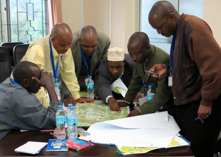
Household survey data – carrying out physical surveys in villages – provides a rich picture of human activity and well-being at a local level, says Fraval, with insights into farm composition, crop inputs, farm economics, human diets, dietary outcomes and more.
Some surveys collect physical measurements about household members, such as height and weight, or take blood samples or check nutrients sufficiency. The primary data Fraval is using is more focused on describing farm systems: what farmers are growing, what livestock they keep, if they’re using fertilisers, herbicides or pesticides, how they’re using those crops, whether they are consuming themselves or selling to market (and what price they’re getting) and how the economics stack up for them.
“These are just snapshots in time, but it’s really useful to combine these rich human stories with satellite imagery to gain insights into how this land is actually managed,” says Fraval. “We can then also take the local household data and extrapolate it to national data and use that modelled data to allow us to explore what we were unable to observe, gaining insights from household data alongside wider population data. For example, it might help us to understand why stunting is more prevalent in a particular region.”
Data-driven decisions
So what would success look like for the three-year project, which runs to June 2023?
“To be very specific, it would mean that decisions were made, using data, that would otherwise not have been made in places like Rwanda and Tanzania,” says Fraval. “It would mean working with decision-makers and getting those ‘a-ha’ moments, when they see something they otherwise wouldn’t have seen.
“More fundamentally, by combining data sources, I hope we will make a small contribution to a healthier human population and environmental systems that will help people thrive for generations to come.”
Mark van Wijk, of the International Livestock Research Institute, says: “Simon Fravel’s work in merging a wide range of different data sets could really help inform policy-making in this area, and potentially improve the quality of life for many people over the coming decades. The Institute is very pleased to be a partner in this significant piece of research.”
Funding information
This project has received funding from the European Union’s Horizon 2020 research and innovation programme under the Marie Skłodowska-Curie grant agreement No 801215.
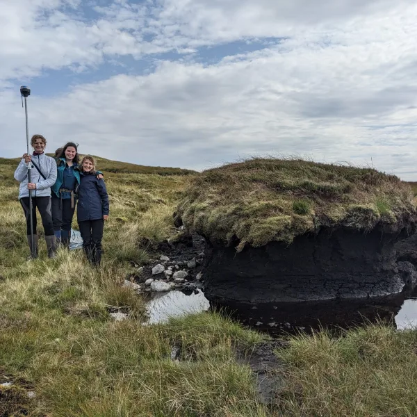
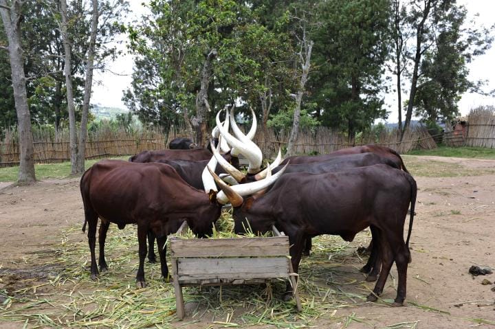
Image credits: satellite over Africa – Eoneren/Getty; Morongo – Moizhusein Storyteller/Getty; space station – Darryl Fonseka/Getty; Tanzanian field research – Mats Lannerstad; Rwandan cattle – grauy/Getty